top of page

Orienteering maps
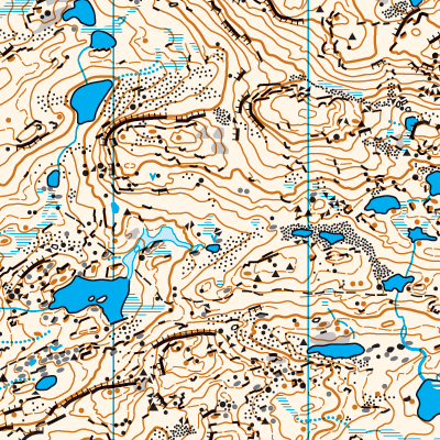
These maps are made solely by LIDAR, aerial imagery and a good deal of PI (Proper Intelligence); without any field work. The aim is to map interesting areas far away from any orienteering club that would be interested in mapping them. Click on each map to find more information and to download PDF. Also read more about how they are made.


bottom of page